Gros Morne National Park of Canada

Gros Morne National Park of Canada was designated a UNESCO World Heritage Site in 1987. It is an area of great natural beauty with a rich variety of scenery, wildlife, and recreational activities. Visitors can hike through wild, uninhabited mountains and camp by the sea. Boat tours bring visitors under the towering cliffs of a freshwater fjord carved out by glaciers. Waterfalls, marine inlets, sea stacks, sandy beaches, and colourful nearby fishing villages complete the phenomenal natural and cultural surroundings of Gros Morne National Park of Canada.
The above italicized paragraph came from the park's website also. The park is by far one of the most interesting that I've seen on this trip. The mountains of Glacier National Park and Banff were amazing but the variation of the topography in this park makes you want to spend days here.
Newfoundland is a richly diverse island that is so different than any other of the provinces that I've visited. There are some population centers with all of the conveniences but it is also very sparsely populated.
I'm dealing with the same issues of rain that I have been plagued with on this trip but I have seen so many incredible sites and met some great people that the rain is just a minor annoyance. Bill - the 78 year old riding partner that I met on the ferry put it all in perspective when we made a stop, stating - "it's great to be alive."
Bonne Bay - Gros Morne


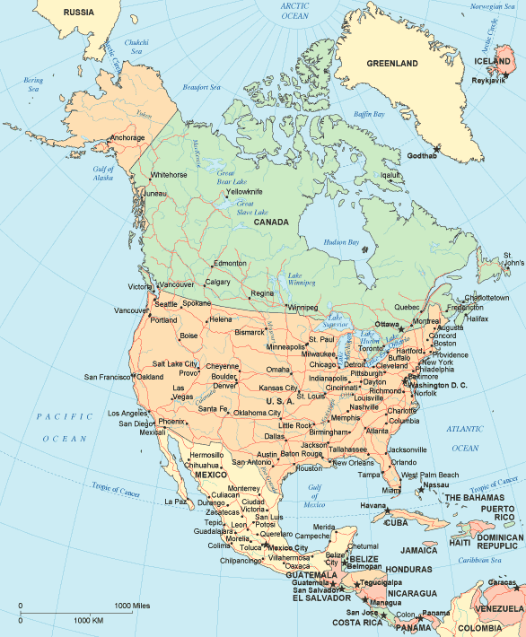
If you are not sure where Newfoundland is - on this map, it's the furthest part of Canada to the right - an island and I will be at the very northern tip on Friday.

No comments:
Post a Comment